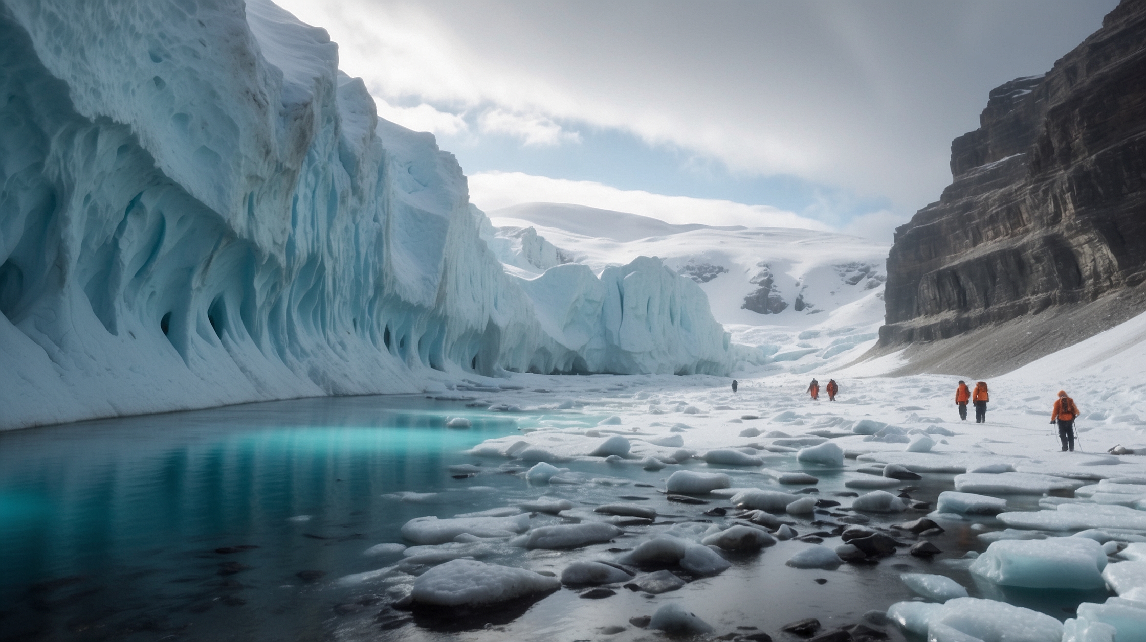

The icy expanse of Antarctica has long been seen as a frozen, unchanging desert — a place more static than dynamic. But a groundbreaking discovery by scientists has revealed a spectacular geological secret lying beneath two kilometers of solid ice: an ancient landscape carved by rivers over 14 million years ago, preserved like a fossil locked in time. This find not only redefines what we know about the southernmost continent but opens new windows into Earth’s climatic and tectonic evolution.

Researchers employed advanced satellite data and ice-penetrating radar to peer beneath the East Antarctic Ice Sheet, unearthing a vast valley system with surprising features. The landscape — featuring ridges and valleys reminiscent of modern river systems in North America or Europe — has remained untouched by erosion for over 14 million years. It represents a “lost world” that predates the current ice coverage, revealing what Antarctica might have looked like when it was lush, green, and teeming with life. The implications are vast, ranging from our understanding of ancient ecosystems to how Antarctica may respond to future climate change.
Key facts and overview of the discovery
| Discovery | Ancient river-carved landscape under East Antarctic Ice Sheet |
| Ice Coverage Depth | Approximately 2 kilometers thick |
| Estimated Age | More than 14 million years |
| Method Used | Satellite data, BedMachine radar mapping |
| Location | East Antarctica, near the Princess Elizabeth Land |
| Scientific Importance | Insights into Earth’s paleoclimate and tectonic history |
How scientists found a hidden prehistoric world
The discovery was made using a combination of satellite imaging and radar technologies, especially a tool known as BedMachine — a high-resolution dataset that compiles all known radar data of Antarctic’s bedrock. Through this, scientists could “see” beneath the ice and reconstruct images of what lies below. What they revealed was a landscape not flattened or deformed by glaciers but well-preserved, suggesting it hasn’t been touched since the ice sheet first formed millions of years ago.

The data shows long-standing river valleys tucked beneath the thickest parts of the East Antarctic Ice Sheet — notably within Princess Elizabeth Land and inland from the Shackleton Range. These valleys run in parallel patterns and are separated by ridges, mimicking river systems seen in today’s temperate areas. It’s as though a slice of Earth’s geological history was cryogenically frozen, waiting to be uncovered by modern technology.
Why this ancient landscape matters in today’s climate crisis
This isn’t just a cool geological find; it could reshape our understanding of climate feedback loops and ice sheet dynamics. The mere fact that these landscapes have remained untouched despite tens of millions of years of glacial cycles means East Antarctica has been incredibly stable. This stability is both comforting and worrying. On one hand, it shows resilience. On the other, it means if East Antarctica were to melt, the Earth’s sea levels could rise by over 50 meters, impacting every continent.

Understanding what lies beneath the ice and how stable it has been helps scientists better model future scenarios as the Earth continues warming. If warming trends continue, some of these ancient landscapes could be exposed within centuries or even decades. That exposure won’t just reveal rocks and terrain — it may release carbon or other elements long buried, further affecting the climate.
“This is like finding a Paleozoic forest trapped in amber. It tells us what East Antarctica was like before the ice set in and how remarkably resilient that system has been through geological time.”
— Dr. Stewart Jamieson, GlaciologistAlso Read Military team finds record-breaking archaeological discovery 2,570 meters below the sea
The mystery of an untouched terrain
One of the key questions scientists are now asking is: Why has this landscape remained so well preserved? Normally, advancing glaciers and extreme weather would erode and distort such formations. But here, beneath two kilometers of unmoving ice, this pristine terrain has defied all odds.
The likely explanation lies in the unique formation path of the East Antarctic Ice Sheet. Unlike West Antarctica, where ice flows in a more dynamic manner, East Antarctica appears to have been stable, cold, and relatively unchanged for millions of years. The glacier moved in a way that essentially “draped” over the underlying topography without reshaping it.
“Nature hid this world away for millions of years under thick ice. Now, with the help of modern radar and geospatial analysis, we’re finally getting a glimpse.”
— Dr. Marc Norman, Geologist
The ancient rivers that shaped today’s Antarctica
What’s particularly mind-blowing is that these valleys and streams were formed during periods when Antarctica had forests, rivers, lakes and probably supported primitive life forms. Modern analysis of sediment cores taken from the area gives clues of once-temperate conditions, with pollen from trees and even traces of microbial life.
The new underground mapping aligns with these findings. The valley systems are consistent with slow-moving rivers and flood plains that existed during the Eocene period around 34 million years ago, transitioning into the Miocene. This means parts of East Antarctica were once verdant basins, possibly resembling the lowland river deltas we see in places like the Amazon or Congo today.
“These river systems are ghosts of a warmer Earth. They offer a rare opportunity to understand how landscapes evolve over immense geological timescales.”
— Emily Dawson, Paleoecologist
What the future holds for Antarctica’s hidden features
This landscape is just the tip of the iceberg—literally and figuratively. Scientists believe there could be other ancient terrains hidden beneath different parts of Antarctica. As radar and satellite technology continue to improve, more such discoveries are expected in the coming years.
Each new find may provide further insights not only into Antarctica’s ancient past but perhaps also into Earth’s future. These preserved landscapes act as time capsules, offering crucial data points to validate climate models and understand the complex interplay between ice mass, tectonics, and atmospheric conditions.
Frequently Asked Questions
How was the ancient Antarctic landscape discovered?
Scientists used satellite data and radar mapping from a tool called BedMachine to peer beneath the thick ice and reconstruct an image of the ancient river valley system.
How old is the discovered landscape under Antarctica?
The landscape is estimated to be over 14 million years old, potentially dating back to the Miocene or even late Eocene period.
Why is this discovery significant?
The find reveals a well-preserved river system and offers insights into past climates, ice sheet stability, and the geological history of East Antarctica.
Can this discovery help predict future climate changes?
Yes, by understanding how stable or vulnerable the East Antarctic Ice Sheet has been, scientists can improve climate models for future sea-level rise scenarios.
Will scientists explore other parts of Antarctica for hidden landscapes?
Yes, further radar and satellite explorations are expected as technology advances, potentially uncovering more buried terrains under the continent’s ice.
Is there life beneath Antarctica’s ice?
No organisms have been confirmed under this specific landscape yet, but sediment samples nearby do contain ancient pollen and microbes, suggesting it once supported life.
Where exactly is this landscape located?
The ancient terrain is beneath East Antarctica, in the region near Princess Elizabeth Land and inland from the Shackleton mountain range.
Could this discovery aid other scientific fields?
Absolutely. Paleoclimatology, geology, glaciology, and even astrobiology can gain insights from how landscapes evolve beneath extreme conditions.