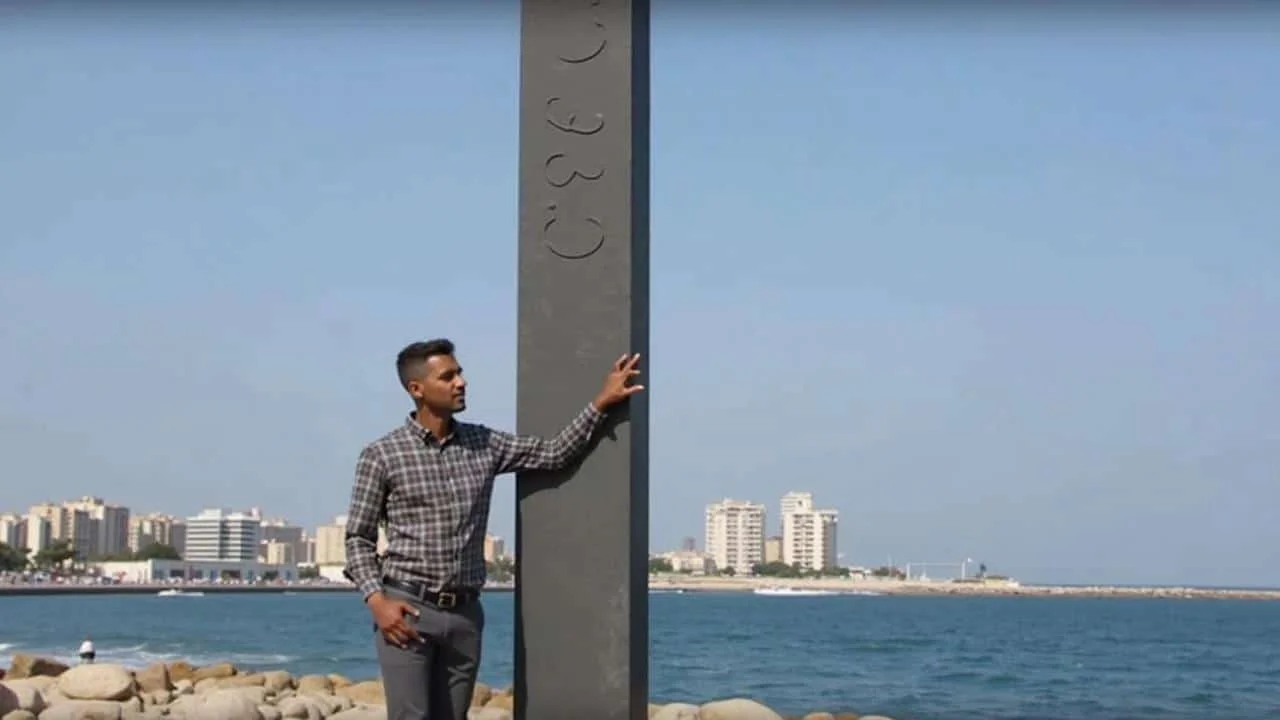
Marie walks past the unassuming stone building on Marseille’s Corniche every morning on her way to work. For three years, she’s barely glanced at it – just another old structure among the seaside cafes and tourist shops. But today, something different catches her eye. A film crew surrounds the modest pavilion, and a man holds up a colorful comic book, pointing excitedly between the real building and the cartoon version on the cover.

“What could possibly be so interesting about that old place?” she wonders, stopping to watch the unusual scene unfold. Little does Marie know, she’s been walking past one of France’s most important scientific landmarks without realizing it.
This is exactly the kind of recognition the Marseille tide gauge has been missing for over a century. Now, through an innovative comic book and video project, this forgotten hero of French geography is finally getting its moment in the spotlight.
When Science Becomes Superhero Material
The Marseille tide gauge doesn’t look like much from the outside. Tucked against the Corniche road, facing the Frioul islands, most tourists pass it by without a second thought. Yet this humble building holds one of the most crucial roles in all of French measurement – it defines the “zero point” for every altitude measurement in the country.
“Every road sign showing elevation, every mountain peak height, every engineering project – they all trace back to calculations made right here,” explains Dr. Philippe Goujon, a geographer involved in the comic book project. “This little building is essentially the backbone of French topography.”

The transformation of this scientific monument into a comic book character represents something remarkable happening in science communication. Instead of dry technical explanations, the tide gauge’s story unfolds through the adventures of a fictional 19th-century technician who maintains the delicate measuring instruments.
The comic brings drama to what might seem like mundane work. Readers follow tense moments when storms threaten the equipment, technical breakthroughs that improve accuracy, and the gradual accumulation of data that would reshape how France measures itself.

The Numbers Behind France’s Most Important Building
The technical specifications of the Marseille tide gauge tell a story of precision and dedication that spans more than 140 years. Here’s what makes this scientific monument so remarkable:
| Aspect | Details |
|---|---|
| Construction Year | 1883 |
| Initial Measurement Period | 12 years (1883-1895) |
| Primary Function | Establishing “maritime zero” for French altitude measurements |
| Historical Monument Status | Since 2002 |
| Current Technology | Modern digital sensors replacing original mechanical instruments |
| Measurement Accuracy | Within millimeters |
The original measurements involved fascinating 19th-century technology:

- Mechanical floats that rose and fell with the tide
- Clockwork mechanisms that recorded data on paper rolls
- Manual calculations performed by dedicated technicians
- Weather-resistant housing to protect delicate instruments
- Continuous operation through storms, heat waves, and winter conditions
“The precision they achieved with 1880s technology is absolutely remarkable,” notes Marine Engineer Claude Bertrand. “These measurements became the foundation for modern France’s entire geographic framework.”
The comic book doesn’t shy away from these technical details. Instead, it weaves them into compelling narratives about the people who made the measurements possible. Readers see the tension of maintaining accuracy during Mediterranean storms and the satisfaction of achieving scientific breakthroughs.
Why This Matters Beyond Marseille’s Shores
The impact of the Marseille tide gauge extends far beyond its seaside location. Every GPS reading, construction project, and geographic survey in France relies on the altitude reference point established by those twelve years of careful sea-level measurements.
This ripple effect touches millions of people daily. When you check the elevation of your hiking trail, use navigation software, or see road signs indicating mountain pass heights, you’re benefiting from work that began in this small Marseille building in 1883.
The comic book project aims to bridge the gap between this massive practical importance and public awareness. “We realized that most French people have no idea how fundamental this place is to their daily lives,” explains science communicator Anne Dubois, who contributed to the comic’s development.
The video being filmed alongside the comic book takes this educational mission even further. By showing the real building alongside its cartoon counterpart, viewers can appreciate both the modest appearance and the extraordinary significance of the tide gauge.
Modern applications of the Marseille tide gauge data include:
- Climate change monitoring through sea-level rise detection
- Urban planning and flood risk assessment
- Infrastructure development and maintenance
- International scientific collaboration on oceanography
- Educational programs connecting students to real-world science
The timing of this comic book project is particularly relevant as climate change makes sea-level monitoring more crucial than ever. The same principles used to establish France’s altitude baseline now help scientists track environmental changes with unprecedented precision.
“What started as a 19th-century engineering project has become a vital tool for 21st-century environmental science,” observes oceanographer Dr. Maria Santos. “The comic helps people understand that connection across time.”
The creative team behind the project spent months researching historical archives, interviewing scientists, and studying the original instruments. This attention to detail ensures that the comic book maintains scientific accuracy while delivering entertainment value.
For Marseille itself, the project represents an opportunity to highlight lesser-known aspects of the city’s scientific heritage. While tourists flock to the Old Port and Notre-Dame de la Garde, the tide gauge offers a different kind of cultural attraction – one that connects local history to national significance.
The video documentation captures not just the comic book’s creation, but also the ongoing scientific work at the site. Modern digital sensors have replaced the original mechanical instruments, but the fundamental mission remains unchanged: precisely measuring sea level to serve France’s geographic needs.
FAQs
What exactly does the Marseille tide gauge measure?
It measures sea level variations to establish the “maritime zero” reference point used for all altitude measurements in France.
Why was Marseille chosen for this important scientific function?
Marseille’s location on the Mediterranean provided stable conditions for long-term sea level measurements, and its historical importance as a major port made it a logical choice.
Can visitors see the tide gauge today?
Yes, the building is visible from the Corniche, though access to the interior is limited due to its status as both a historical monument and active scientific facility.
How does the comic book make science more accessible?
By creating fictional characters and dramatic storylines around real scientific work, the comic transforms technical information into engaging narratives that appeal to general audiences.
What impact has climate change had on the tide gauge’s measurements?
Modern instruments at the site now contribute to global sea-level rise monitoring, making the location even more scientifically valuable than when it was first established.
Are there plans for more science-themed comic books about French landmarks?
While no official announcements have been made, the success of this project could inspire similar creative approaches to science communication at other important but overlooked scientific sites.