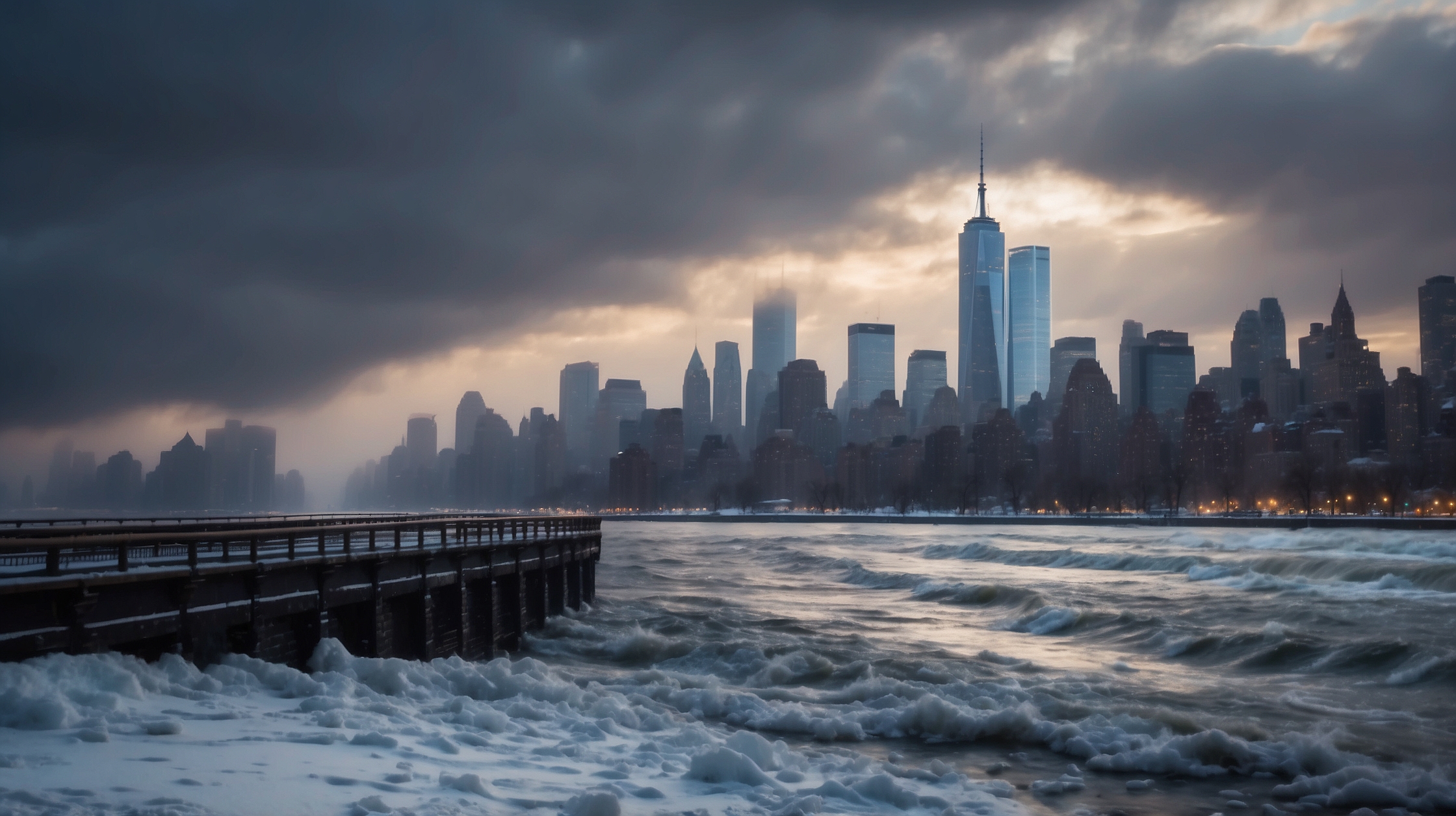

Residents of the Northeast, particularly those in and around the New York metropolitan area, are bracing for the arrival of a powerful winter storm system being classified as a “bomb cyclone.” Meteorologists forecast significant snowfall, punishing winds, and dangerous travel conditions this weekend as the weather system intensifies rapidly near the coastline. With millions potentially impacted, attention now turns to emergency preparedness, transportation concerns, and the critical question: just how much snow will fall?

The bomb cyclone — a meteorological term used when a storm undergoes bombogenesis, dropping at least 24 millibars in pressure within 24 hours — is expected to gain strength as it travels along the eastern seaboard and settles near the tri-state area. Early indicators suggest the storm could rival, or even surpass, some of the most potent blizzards recorded in the region over the last decade. Timing, temperature, and storm track will be pivotal in determining whether New York City sees manageable snowfall — or a heavy dumping that could paralyze daily life.
Storm impact overview at a glance
| Storm Type | Bomb Cyclone (Explosive Cyclogenesis) |
| Expected Start Time | Late Friday night into Saturday morning |
| Primary Impact Area | New York City, Long Island, Northern New Jersey, Southern Connecticut |
| Snowfall Forecast | 6 to 18 inches depending on location |
| Wind Gusts | Up to 55 mph near coastal areas |
| Travel Conditions | Hazardous to impossible Saturday–Sunday |
| School/Office Closures | Likely on Monday in high snow accumulation zones |
| Power Outage Risk | Moderate to High in coastal and wooded areas |
Why this storm is different from recent Nor’easters
While New York has witnessed its fair share of potent winter storms, this bomb cyclone stands out because of the rate at which it’s expected to intensify. **Rapid cyclogenesis** is already taking place offshore, drawing cold Arctic air behind it while pulling in moist Atlantic air upfront—creating a recipe for heavy, wet snowfall and blizzard-like conditions.

The National Weather Service warns that the juxtaposition of low-pressure deepening rapidly and strong upper-level dynamics could yield snowfall rates of 2–3 inches per hour in certain areas on Saturday. “If the primary low shifts just 50 miles west, we could be looking at 18+ inches across the five boroughs,” one local meteorologist noted.
Expected snowfall accumulation by region
Predicting snow totals for a storm like this is always complicated, but current models suggest:

- Manhattan/Brooklyn/Queens: 6–10 inches
- Bronx/Northern NJ: 8–12 inches
- Long Island (East): 12–18 inches
- Southern CT/Westchester: 10–14 inches
These figures are subject to updates based on overnight modeling and live radar tracking. Snowfall amounts may pivot significantly if the storm track nudges east or west by even a few dozen miles.

Travel and commuting disruptions to expect
Local authorities are urging residents to limit any travel starting late Friday through Sunday midday. With whiteout conditions likely during peak hours of snowfall, both ground and air travel are expected to see widespread cancellations and delays.
Airport officials at JFK, LaGuardia, and Newark are encouraging passengers to monitor schedules closely. Subway and commuter rail systems may run on limited schedules, especially if power outages occur or snow accumulation affects track switching mechanisms.
A big concern will be drifting snow and strong gusts that could impede plow efforts on key roadways.
— Allen Thompson, NYC Transit Planning Analyst
Emergency responses already in motion
New York City’s Office of Emergency Management has confirmed the mobilization of over 1,600 snow removal vehicles, including salt spreaders and plows. Moreover, warming centers are being readied for at-risk populations, particularly the elderly and homeless. Emergency declarations may be issued by the Mayor and the Governor should the storm reach Category 1 or 2 blizzard levels by Saturday night.
In Suffolk County and Nassau County, local leaders are coordinating with state authorities for rapid response teams in the event of power disruptions or impassable roads in suburban neighborhoods. Snow emergency routes are being posted with “no parking” signs starting Friday night to enable full snow removal efforts.
How schools and businesses are preparing
New York City Public Schools and regional districts have not yet issued closures, but contingency plans for remote learning are prepared, especially if accumulating snow makes weekday transport difficult. Large employers in the financial and tech sectors are activating remote work policies ahead of time.
We’ve learned from past storms that proactivity saves time, resources, and lives. It’s better to call for closings 12 hours in advance than risk chaos at rush hour.
— Maria Ellis, Tri-State Emergency Operations Coordinator
Who stands to benefit and who loses
While most view this bomb cyclone as a net-negative, certain sectors may see surprising advantages. Snow removal contractors, grocery stores, and hardware businesses are anticipating increased demand. On the downside, transport industries and small storefront businesses reliant on foot traffic will likely suffer.
Storm benefits and drawbacks by sector
| Winners | Losers |
|---|---|
| Snow removal companies and suppliers | Airlines and public transit agencies |
| Hardware and grocery stores | Tourism and hospitality sector |
| Remote work platforms and services | Event organizers and performers |
What changed in forecasting techniques this year
One notable factor for this storm is the use of newer supercomputer modeling integrated by NOAA. More granular forecasting allows meteorologists to predict not just snowfall quantity, but quality — wet/heavy vs. dry/powder. This plays a significant role in powerline damage and roof collapses. Enhancements to real-time radar data processing also allow more accurate snowfall rate projections by the hour.
What to do if the power goes out
The risk of widespread outages remains moderate to high along coastal and wooded neighborhoods. Authorities recommend charging electronics, stocking up on shelf-stable food, and having extra blankets and flashlights ready. Avoid using propane heaters indoors and immediately report downed wires to local utility providers.
We could see isolated outages lasting up to 48 hours in harder-hit suburbs if winds exceed 50 mph.
— Kenneth Hoyle, Regional Grid Supervisor
6–8 key FAQs about the bomb cyclone
What is a bomb cyclone exactly?
A bomb cyclone occurs when a storm rapidly intensifies, dropping at least 24 millibars in atmospheric pressure within 24 hours. This leads to severe weather conditions, including heavy snow and high winds.
How much snow will NYC proper get?
Forecast models currently predict 6 to 10 inches in the New York City boroughs, with higher totals possible if the storm track shifts westward.
Will this qualify as a blizzard?
If sustained winds exceed 35 mph for three or more hours with significant snow, parts of the area may experience official blizzard conditions, particularly in Long Island and coastal New Jersey.
Are schools going to close?
No official decision as of now, but districts are monitoring the situation. Remote learning and early dismissals remain on the table.
When will the storm peak?
Latest guidance suggests snow will peak between 6 AM and 4 PM on Saturday, with tapering overnight into Sunday morning.
Could it affect Monday morning commute?
Yes, if snowfall amounts exceed 12 inches in parts of the metro area, cleanup and public transit delays may extend into Monday.
Should I cancel my weekend plans?
Yes, residents are strongly urged to stay home and avoid unnecessary travel from Friday night through Sunday noon to ensure safety amid treacherous road conditions.
Is this storm similar to past Nor’easters?
While structurally similar, bomb cyclones intensify more rapidly than traditional Nor’easters, making them more dangerous in a shorter period of time.