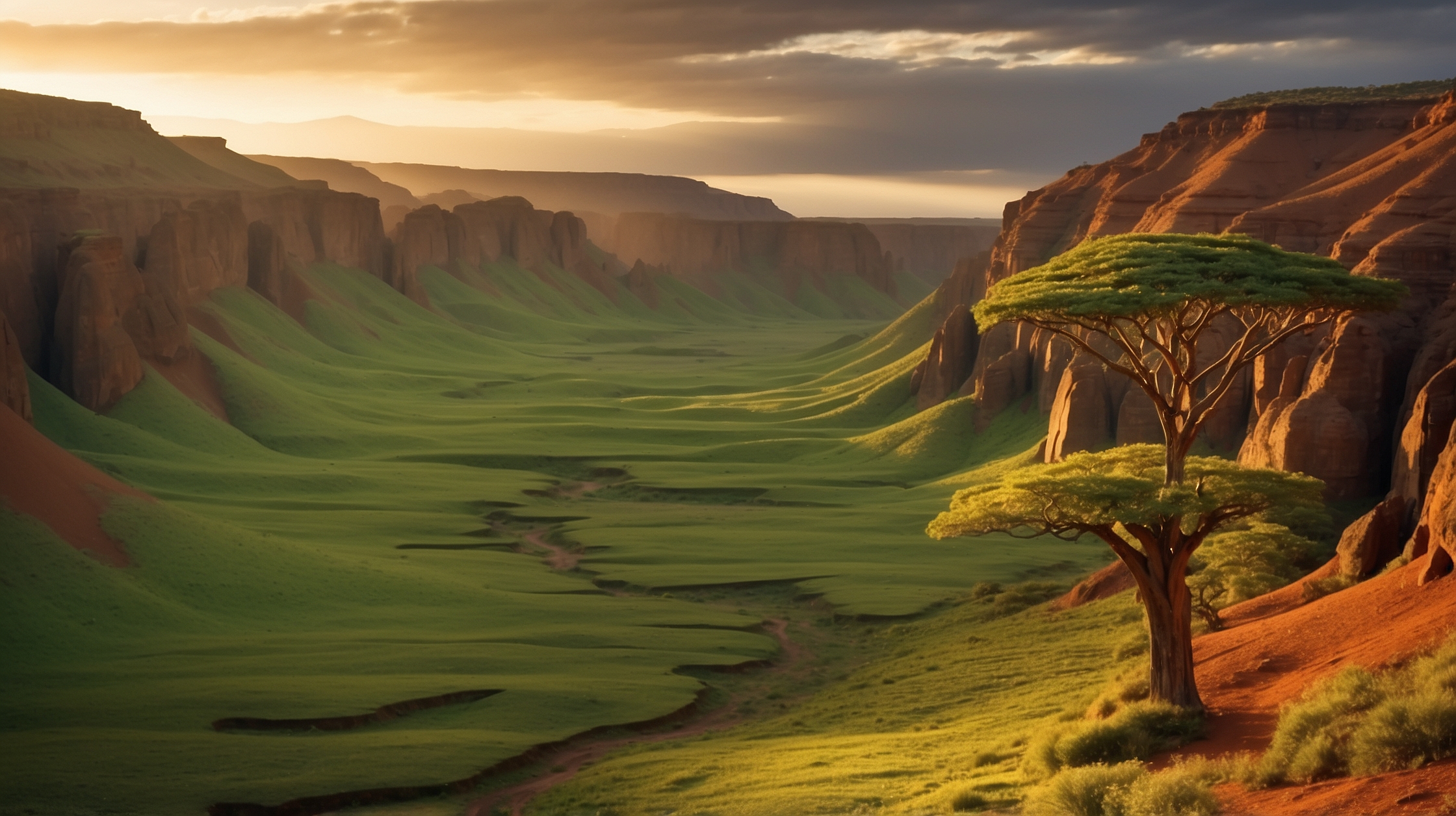

The African continent, long perceived as geologically stable, is intricately evolving beneath the surface. What may seem imperceptible on a day-to-day basis is, in reality, a monumental shift in Earth’s structure—Africa is literally splitting apart. The tectonic forces at play stretch and twist the Earth’s crust along the East African Rift, forming a visible and measurable divide that could ultimately give rise to a new ocean. While such a transformation may take millions of years, scientists today can already observe and measure the progression of this dramatic geological event.

For now, the continent’s division may appear slow and subtle, but modern technologies—such as satellite GPS—have enabled researchers to identify measurable changes year over year. These advancements offer invaluable insight into the region’s seismic activity, helping populations understand the long-term risks while providing a real-time window into Earth’s ever-changing face. Understanding this phenomenon is crucial not just for science, but also for communities living along the tectonic boundary.
Overview of Africa’s Tectonic Split
| Region Affected | East African Rift System (EARS) |
| Countries Impacted | Ethiopia, Kenya, Tanzania, Uganda, Mozambique, and others |
| Driving Force | Tectonic plate divergence |
| Measurement Tools | Satellite GPS, interferometric synthetic aperture radar (InSAR) |
| Speed of Split | Several millimeters to centimeters per year |
| Future Outcome | Formation of a new ocean basin |
Understanding what lies beneath the African Rift
At the heart of the African split is the East African Rift System (EARS), one of the most extensive and geologically active rifts in the world. Stretching over 3,000 kilometers from the Afar Triangle in Ethiopia to Mozambique, EARS marks a region where the African Plate is tearing into two seemingly separate tectonic plates: the Nubian Plate to the west and the Somali Plate to the east. This process, known as rifting, is driven by the slow but constant movements of Earth’s lithospheric plates.

In geological terms, the African Rift Valley is a prime example of a divergent plate boundary. As tectonic plates move away from each other, deep fault lines form, and magma rises to fill the gaps, resulting in earthquakes and volcanic activity. The rift bears a signature of such phenomena, including active volcanoes like Mount Nyiragongo and series of rift valleys like the Great Rift Valley in Kenya and Ethiopia.
Visible signs of the Earth’s next transformation
What makes this process fascinating is that while it takes place at a geologic pace, measurable changes are already happening today. In 2005, a massive crack—more than 60 kilometers long—appeared in Ethiopia’s Afar region after a volcanic eruption. More recently, in 2018, a dramatic crack several kilometers long appeared in Kenya’s Narok County, splitting highways and alarming local residents.

Experts confirm that these cracks may not indicate imminent disaster but are visible signs of a long-term transformation. But thanks to technological advancements, particularly in satellite GPS systems, scientists can measure the exact rate at which the rift is splitting. These instruments report that certain parts of the rift are diverging at rates up to 7 millimeters per year.
We are witnessing the infancy of an ocean. This geological process normally takes millions of years, but modern tools allow us to track it in real time.
— Dr. Lucia Perez, Geologist and Earth Sciences ResearcherAlso Read Military team finds record-breaking archaeological discovery 2,570 meters below the sea
Scientific tools bring the invisible into view
The real breakthrough in understanding Africa’s tectonic shift comes from remote-sensing technologies. GPS geodesy systems, which use multiple satellites to triangulate ground movement, offer high-precision data collection in remote and unstable terrain. Additionally, interferometric synthetic aperture radar (InSAR) detects minute changes in ground elevation by comparing satellite images taken over different times.
These tools have allowed volcanologists and geophysicists to reconstruct time-lapsed movement of fault lines, quantify elevation changes after seismic events, and forecast geological risks more accurately than ever before. Data indicates not just the rate of continental drifting but also the accumulation of tectonic stress that could result in earthquakes or volcanic eruptions in the region.
What this means for the people living on the rift
Around 35 million people live along the East African Rift, many of whom are agriculture-dependent and live in structurally vulnerable areas. The implications of tectonic stresses go beyond academic interest—they shape the risk profile for urban infrastructure, agriculture, water resources, and even tourism sectors that thrive around the region’s lakes and volcanoes.
Most importantly, the gradual tectonic movement can incite localized earthquakes and volcanic activity, as magma attempts to escape to the surface through the expanding fissures. Regions such as the Afar Triangle are particularly susceptible. Government agencies and local authorities must navigate the complexity of managing long-term geological risks with more immediate socio-economic needs like housing and irrigation infrastructure.
This rift isn’t just splitting land; it’s influencing human lives, ecosystems, and even national economies.
— Prof. Samuel Njoroge, Environmental Risk Analyst
How a new ocean might someday divide Africa
Looking far into the future, the slow process of continental rifting could culminate in the birth of a new ocean. As the tectonic plates continue to pull apart, the rift may eventually sink below sea level and fill with ocean water. The concept isn’t just speculative; this is exactly what occurred millions of years ago when the Atlantic Ocean was formed through a similar process.
The first signs of such transformation are already present. The Afar region, located at the intersection of three tectonic plates (African, Somali, and Arabian), is almost at sea level and bordered by the Red Sea. Geologists predict that it may be the first area to submerge as the rift widens. When that happens—likely in millions of years—it could sever the eastern portion of Africa permanently, giving rise to a new ocean basin and reshaping global geography.
Winners and losers in Africa’s tectonic divergence
| Winners | Losers |
|---|---|
| Geological research and data science | Populations living in high-risk rift zones |
| Volcanology and earthquake forecasting | Rural infrastructure and agriculture |
| International collaboration in Earth sciences | Tourism near unstable volcanic regions |
The role of international collaboration and preparedness
Accurately forecasting geological transitions like this requires robust international cooperation. Scientists from across Africa, Europe, and the US are working together to install monitoring devices, share satellite datasets, and create cross-border risk assessments. Such cooperation is essential for early-warning systems and for guiding urban planning in vulnerable regions.
In particular, community engagement plays a key role. Scientific literacy and public communication determine whether these societies can adapt to slow-brewing changes. Programs like regional geology education, disaster preparedness drills, and sustainable development planning must be expanded to encompass tectonic realities.
It’s not just about when or where—it’s about how we prepare communities to exist in harmony with the Earth’s pace
— Dr. Amara Teferri, Disaster Resilience Strategist
Short FAQs on Africa’s Tectonic Split
How fast is the African continent splitting?
The African continent is splitting at a rate of several millimeters to centimeters per year, depending on the region.
Which countries are most affected by the tectonic rift?
Countries such as Ethiopia, Kenya, Tanzania, and Mozambique are closely aligned with the East African Rift and are most affected.
Will a new ocean actually form in Africa?
Yes, if the tectonic movements continue for millions of years, a new ocean could form, splitting the eastern portion from the rest of Africa.
Can this tectonic activity cause earthquakes?
Yes, the movement of tectonic plates can lead to faulting and seismic activity, including earthquakes and volcanic eruptions.
How is this geological event being measured?
Tectonic shifts are tracked using GPS geodesy and satellite radar systems like InSAR to detect ground elevation changes over time.
Is this process dangerous to people?
While the process is slow, it can be hazardous due to earthquakes and volcanic activity along the rift zones.
What kind of geological structures are being formed?
The rift is creating large valleys, faults, and volcanic mountains as a result of crustal movement and magma intrusion.
How should communities prepare for future changes?
Communities can benefit from geological education, early-warning infrastructure, and international cooperation in disaster management strategies.