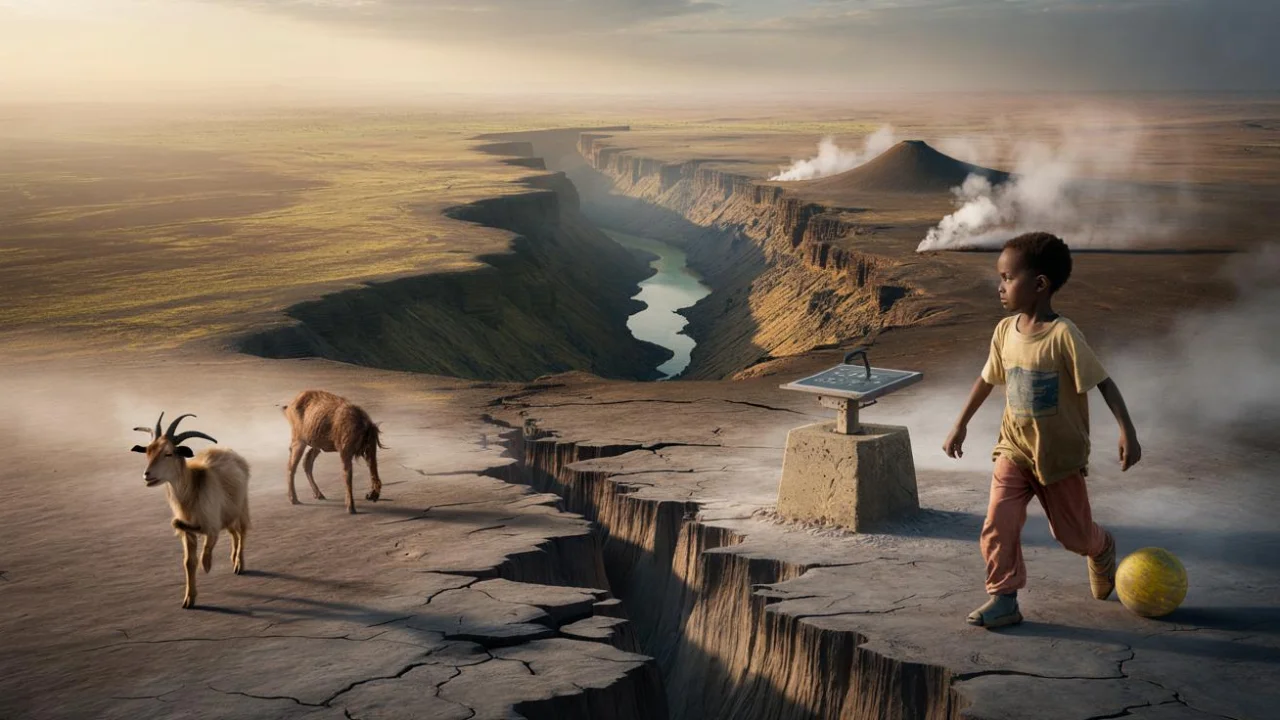
Maria Kioko remembers the morning her grandmother called from their village near Naivasha, Kenya. “The earth has opened up,” the elderly woman said, her voice shaking through the crackling phone connection. “Right through our neighbor’s shamba. You can see all the way to hell.”
When Maria drove out that weekend, she found something both terrifying and strangely beautiful. A jagged crack, about two meters wide, had split the red soil like a lightning bolt frozen in time. Children from the village stood at its edges, dropping pebbles and listening for the echo. But this wasn’t just another sinkhole or erosion problem.
This was proof that the African continent splitting has already begun, measured not in dramatic Hollywood moments, but in millimeters per year that add up to something extraordinary.
The slow-motion breakup that’s reshaping a continent
Right now, as you read this, the African continent is stretching apart along the East African Rift System. GPS stations scattered across Ethiopia, Kenya, and Tanzania record the movement with scientific precision. The eastern edge of Africa moves away from the western part by about 2-5 millimeters annually.
That might sound impossibly small, but consider this: over your lifetime, that’s several centimeters. Over a million years, it’s kilometers. “We’re watching the birth of a new ocean in real time,” says Dr. James Hammond, a geophysicist who studies the rift. “It’s just happening on geological time scales rather than human ones.”

The East African Rift stretches over 3,000 kilometers from the Afar Triangle in Ethiopia down to Mozambique. But this isn’t one clean break. Instead, imagine a spider web of cracks, each pulling the continent in slightly different directions.
What drives this continental divorce? Deep beneath Africa, hot rock rises from the mantle like slow-motion lava lamps. These convection currents create enormous pressure that literally tears the continent apart from below. Where the crust thins, magma pushes upward, creating the volcanoes and hot springs that dot the rift valley.
The measurable evidence that scientists track every day
Modern technology has turned this geological process into hard numbers. Here’s what researchers can measure right now:
- GPS movement data: Stations record millimeter-level shifts annually
- Seismic activity: Thousands of small earthquakes mark stress points along the rift
- Ground deformation: Satellite radar shows land rising and falling as magma moves below
- Volcanic gas emissions: Chemical signatures reveal deep mantle activity
- Lake level changes: Rift valley lakes expand and contract with geological pressure
The numbers tell a story that spans both immediate reality and deep time:
| Location | Annual Movement | Time to New Ocean | Current Evidence |
|---|---|---|---|
| Afar Triangle, Ethiopia | 16-20mm/year | 1-5 million years | Active volcanism, ground cracks |
| Kenya Rift Valley | 2-5mm/year | 10-50 million years | Lake formation, hot springs |
| Western Rift | 1-3mm/year | 50+ million years | Deep lakes, scattered volcanoes |
“People think geology happens on time scales we can’t relate to,” explains Dr. Cynthia Ebinger, who has spent decades studying the African rift. “But if you set up a GPS station today and come back in ten years, you’ll see the continent has moved. That’s pretty remarkable.”
The most dramatic measurements come from the Afar region, where three tectonic plates meet. Here, the ground drops by several centimeters each year as the rift widens. Satellite images from the past two decades show new volcanic islands appearing in the middle of temporary lakes formed by recent flooding.
What this means for millions of people living on a splitting continent
About 60 million people currently live within the East African Rift System. For most, the African continent splitting remains an abstract concept. Daily life revolves around farming, family, and making ends meet, not geological time scales.
But the rift does create real, immediate impacts. The Kenyan village where Maria’s grandmother lives has experienced several ground cracks over the past decade. Each one damages roads, disrupts farming, and forces families to relocate.
“My family has lived here for four generations,” says Peter Mwangi, whose farm sits directly on a fault line. “The old people say the earth is angry. The young people check their phones for earthquake apps. We all just keep farming.”
The geological activity brings both challenges and opportunities:
- Geothermal energy: Countries like Kenya now generate significant electricity from rift valley hot springs
- Agricultural fertility: Volcanic soils in the rift valley support some of Africa’s most productive farming
- Tourism revenue: The dramatic landscapes draw visitors to see active volcanoes and unique wildlife
- Infrastructure risks: Roads, buildings, and pipelines require constant maintenance due to ground movement
- Water resources: Rift valley lakes provide fresh water but also face pressure from geological changes
Climate change adds another layer of complexity. Increased rainfall can accelerate erosion along existing cracks, making them appear more dramatic than they actually are. The viral 2018 photo of the crack in Kenya happened after unusually heavy rains exposed and widened an underlying geological fault.
Scientists emphasize that this isn’t a disaster waiting to happen. “People have lived successfully in the rift valley for thousands of years,” notes Dr. Ebinger. “The geological activity creates challenges, but it also creates some of the most fertile and resource-rich land in Africa.”
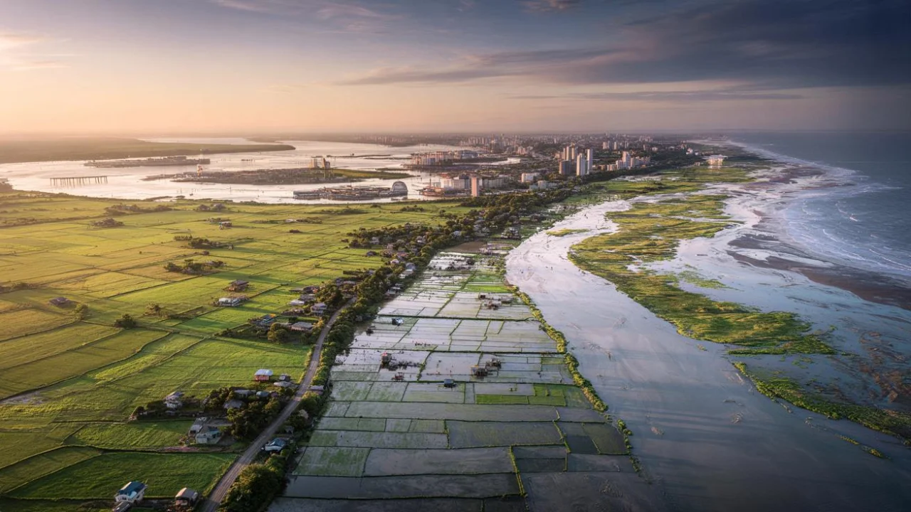
Looking ahead, the African continent splitting will continue at the same steady pace for millions of years. Eventually, eastern Africa will separate completely, and the Indian Ocean will flood in to create a new sea. The Horn of Africa might become an island, like Madagascar is today.
But that’s so far in the future that our species might be unrecognizable by then. For now, the split exists mainly in precise measurements, in the patient work of GPS stations, and in the occasional crack that opens in a farmer’s field, reminding us that even the most solid-seeming things are constantly changing.
FAQs
How fast is the African continent splitting apart?
The continent splits at different rates depending on location, from 1-3 millimeters per year in some areas to 16-20 millimeters annually in the most active zones like Ethiopia’s Afar region.
Will Africa really split into two continents?
Yes, but over millions of years. The eastern part of Africa will eventually separate from the main continent, allowing ocean water to flood in and create a new sea.
Can people feel the continental split happening?
No, the movement is far too slow for humans to detect. Only sensitive GPS equipment and satellites can measure the millimeter-scale changes each year.
Is the African rift dangerous for people living there?
The rift creates some risks like earthquakes and ground cracks, but 60 million people live safely in the region. The geological activity also provides benefits like geothermal energy and fertile soils.
What caused that big crack in Kenya in 2018?
Heavy rainfall exposed and widened an existing geological fault line. While dramatic-looking, it was a combination of normal rift activity and weather-related erosion.
How do scientists measure something moving so slowly?
GPS stations anchored in bedrock can detect movements as small as millimeters. Satellites also use radar to measure ground deformation and track changes over time.